Our Impact
Datasets Available
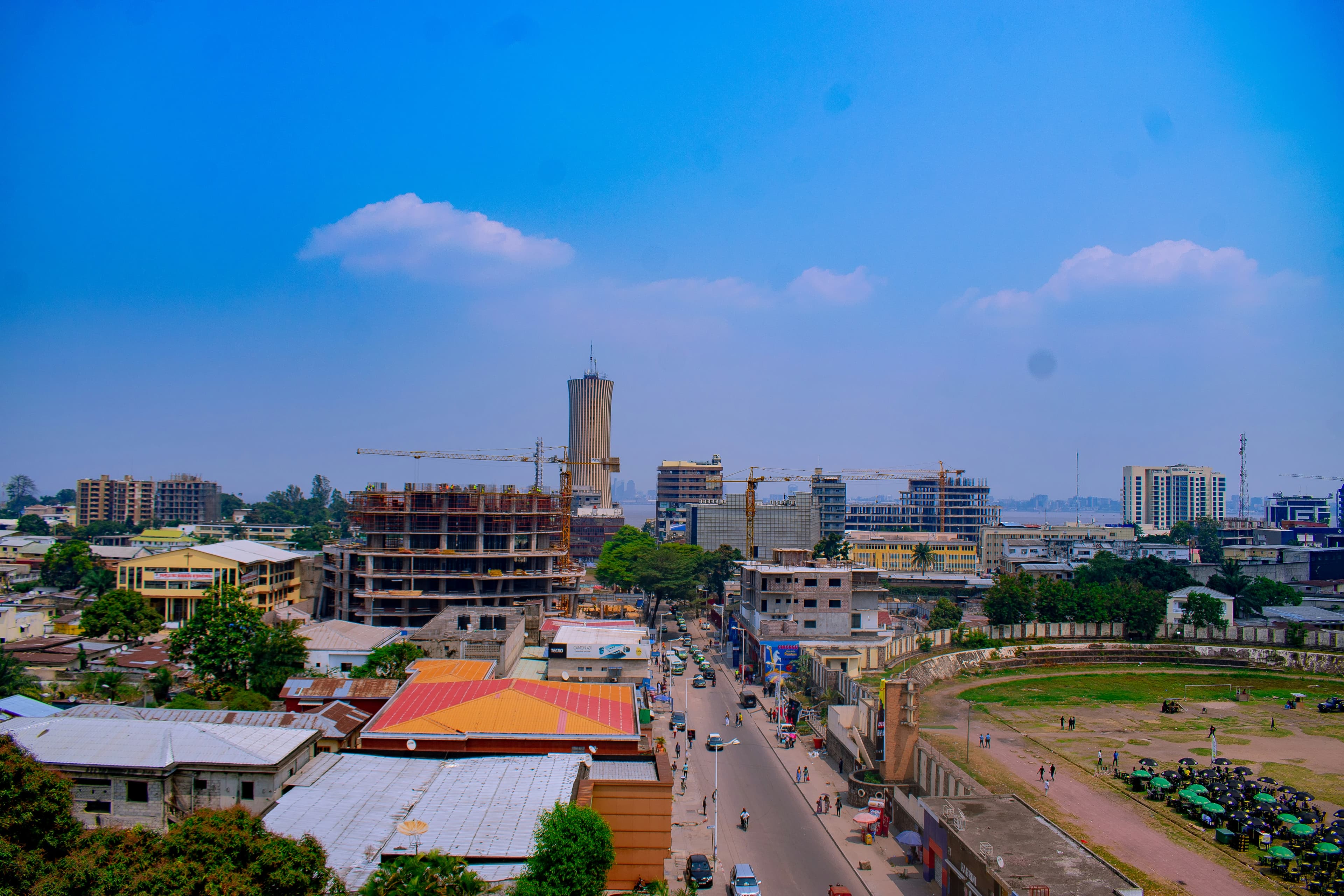
Across West African countries
Countries Covered
Ghana, Nigeria, Benin, Côte d'Ivoire,
Daily Active Users
Researchers and policymakers
Features Mapped
Geographic features in our database
Powerful Features
Explore, analyze, and download comprehensive geospatial data for West African countries with our intuitive platform.
Multi-Country Coverage
Access spatial data for Nigeria, Ghana, Mali, Benin, Burkina Faso, Côte d'Ivoire and more West African countries.
Multiple Export Formats
Download datasets in GeoJSON, Shapefile, CSV, and GeoTIFF formats directly from the portal.
Advanced Filtering
Filter by theme, country, resolution, and search across thousands of spatial datasets with ease.
Additional Capabilities
Real-Time Updates
Access the latest geospatial data with regular updates across all African countries.
Community Driven
Contribute your own datasets and collaborate with researchers and data scientists worldwide.
Documentation & Guides
Comprehensive documentation, tutorials, and API guides for developers and analysts.
Supported by Leading Organizations
We collaborate with international partners committed to advancing geospatial data accessibility and development across Africa.
African Union
Supporting geospatial data initiatives across Africa
European Union
Collaborative partner for data standards and technology
MIFMASS
Advancing geospatial development in West Africa
Partnership Opportunities
Interested in collaborating with us? We welcome partnerships with organizations committed to advancing geospatial data accessibility and development across West Africa. Contact us to discuss potential collaborations.